Welcome to Marbury cum Quoisley
CLICK FOR 2021 CENSUS DATAIntroduction
Marbury is a small village located at SJ560457 in the civil parish of Marbury cum Quoisley, within the unitary authority of Cheshire East and the ceremonial county of Cheshire, England. It is administered jointly with the adjacent civil parishes of Norbury and Wirswall. The village lies around 3 miles (5 km) north east of Whitchurch in Shropshire and 7 miles (11 km) south west of Nantwich in Cheshire. Nearby villages include Malpas, No Man's Heath, Norbury, Wirswall and Wrenbury. The civil parish borders Shropshire and covers 2,168 acres (877 ha); it also contains the small settlements of Hollins Lane, Marley Green and Quoisley, as well as parts of Hollyhurst and Willeymoor. The total population was just under 250 in 2001, and – combined with Wirswall – 352 in 2011.The area is agricultural with undulating terrain, 75–120 metres in elevation. Dairy farming is the main industry. A small area in the east of the civil parish is part of the Combermere estate. The Llangollen Canal runs along the northern boundary. There are five meres which are important wildlife habitats. Marbury Big Mere is a fishing lake and the Quoisley Meres are a Site of Special Scientific Interest and a Wetland of International Importance; they originate in glacial kettle holes. The civil parish is believed to have been inhabited since the Anglo-Saxon period. In the Civil War, the parish was plundered by both sides during 1642–44, after Thomas Marbury declared for Parliament. It contains many historic buildings, the earliest being the 15th-century St Michael's Church. "Marbury Merry Days", a traditional country fair, is held in May.
Parish Information
Parish statistics
Area |
876 hectares |
|---|---|
Population |
381 (2021) |
Density |
44 people/km2 |
Mean age |
45.1 |
Ward |
Wrenbury |
District |
Cheshire East |
Postcodes |
SY13 |
ONS ID |
E04010968 |
Council
Contact details for Marbury cum Quoisley Parish Council, including current councillors, precept data and election results.
Education
View educational establishments in Marbury cum Quoisley Parish. Data includes OFSTED rating and current appointed governors.
Business
Business directory listing local businesses operating within Marbury cum Quoisley Parish.
Planning
View recent planning applications submitted for Marbury cum Quoisley Parish.
Property
Price paid data for all property sold in Marbury cum Quoisley Parish since 2018. Includes average prices for each property type.
Heritage
Local heritage sites, historic churches, heritage pubs plus local heritage initiatives for Marbury cum Quoisley Parish.
Local News

Hosted and licensed by Nantwich News
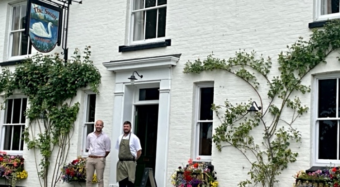
The Swan at Marbury crowned North West's best pub
Published: 12th Jul 2023

Hosted and licensed by Cheshire Live
Cheshire country pub named best in North West
Published: 1st Jul 2023